- Sedimentary Systems
- 3D Modelling Lab
3D Modelling Lab
Drone DJI P4 RTK
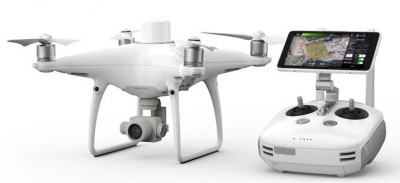
The P4 RTK from DJI is a quadcopter drone that can perform centimeter-level accurate mapping for land surveying and photogrammetry image acquisition.
D-RTK2 Mobile Station
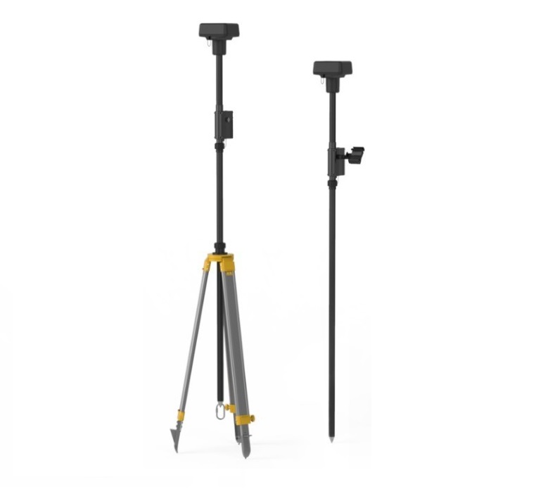
The D-RTK 2 Mobile Station from DJI provides high-precision position data for drones in the base area during image acquisition.It supports GPS systems and is compatible with P4 RTK drone.
Drone DJI Mavic Air
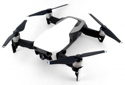
The Mavic Air from DJI is a quadcopter drone known for being the smallest DJI drone with 3-axis gimbal for 4K videos and razor-sharp images.
EMLID Reach RS2 Multi-Band RTK GNSS receiver
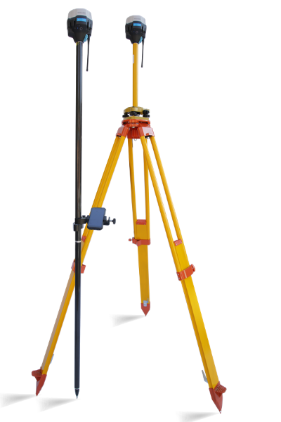
The EMLID REACH RS2 is an RTK GNSS receiver with centimeter accuracy. It can be used for surveying, mapping and navigation.
Leica BLK360 Imaging Laser Scanner
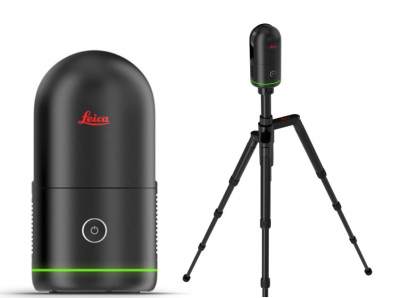
Leica BLK360 is an advanced precision imaging laser scanner with enclosed LiDAR sensor. It can collect point clouds at a rate of 680,000 points per second and completes a scan with spherical images in 20 seconds.


