- Home
- Yann Marcon
- LAPM Tools
LAPM Tools

LAPM
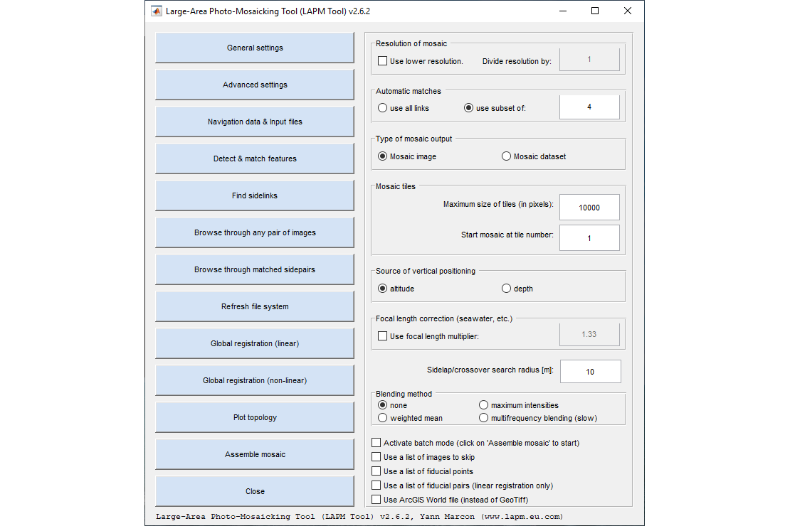
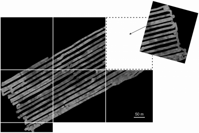
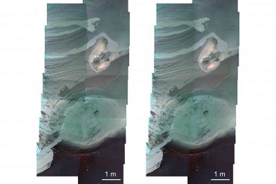
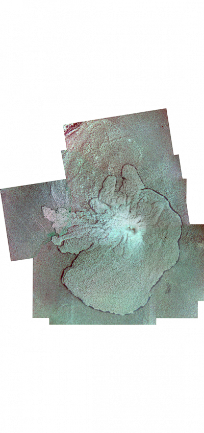
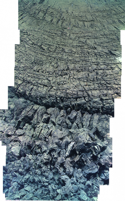
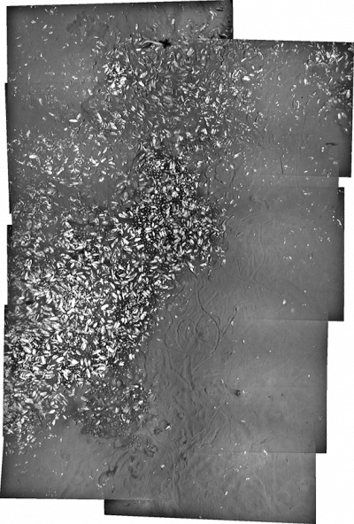
LAPM is a software solution specifically dedicated to the production of underwater large area photo-mosaics. The LAPM tools were developed to enable end-user scientists to build large area photo-mosaics easily, without requiring in-depth knowledge of the techniques involved. To that end, the programs can be downloaded and used for free (non-commercial and commercial use).
The LAPM tools include the following programs:
- LAPMv2: this is the latest, recommended release of LAPM.
- LAPM tool (legacy version): this is the first release of LAPM. It is considerably slower than LAPMv2. We do not recommend to use this version, unless you do not have any positioning data for your images.
See the table below and the related publications (listed below) for more details about the differences between the programs.
CONDITIONS OF USE
The use (non-commercial and commercial) of mosaics created with any of the LAPM programs must be credited with a mention that the mosaics were created with the LAPM Tool. This credit must be added to any presentation or publication (of any kind: report, scientific publication, newspaper, etc.) in which the mosaics are used. This credit must be provided in a README file together with the mosaic files whenever the files are delivered or sold to a third-party or customer. If the mosaics are used in a scientific publication (peer-reviewed or not), please acknowledge the use of LAPM by citing the associated publications (listed below).
DISCLAIMER
LAPM is a proprietary software, which can be downloaded and used for free (freeware). All versions of LAPM are distributed in the hope that they will be useful, but without any warranty; without even the implied warranty of merchantability or fitness for a particular purpose.
PUBLICATIONS
- Marcon Y., Sahling H. and Bohrmann G. (2013), LAPM: a tool for underwater large-area photo-mosaicking: Geoscientific Instrumentation, Methods and Data Systems, 2(2). 189-198. doi:10.5194/gi-2-189-2013.
- Marcon Y. (2014), LAPMv2: An improved tool for underwater large-area photo-mosaicking: MTS/IEEE Oceans 2014 Conference, St. John's, Newfoundland, Canada, p. 1–10. doi:10.1109/OCEANS.2014.7003185.
LAPM FUNCTIONALITIES
| Functionality | LAPM tool | LAPMv2 |
|---|---|---|
| Automated feature detection | Yes | Yes |
| Fast feature detection | - | Yes |
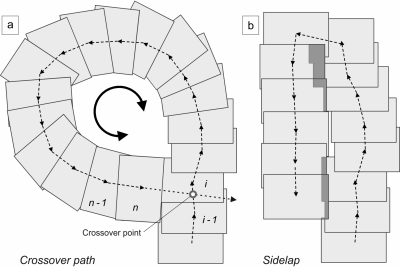
| Automated crossover and sidelap detection | Brute force (slow) | Distance-based (fast) |
| Automated workflow (batch mode) | - | Yes |
| Outlier rejection | Normal | Normal / Strict |
| Manual feature matching | Yes | Yes |
| Link editor interface | Yes | - |
| Automated georeferencing | Yes | Yes |
| Manual georeferencing | Yes | n/a |
INPUT | ||
| Positioning data | Optional | Required |
| Camera sensor parameters | - | Required |
OUTPUT | ||
| Mosaic files | Mosaic image only | Mosaic image or Mosaic dataset (with LAPM Toolbox for ArcGIS) |
| Mosaic file formats | TIFF image + ArcGIS world file (.tfw) | GeoTIFF or TIFF image + ArcGIS world file (.tfw) |
| Mosaic resolution | Full / Reduced | Full / Reduced |
| DOWNLOAD | program (64bit): windows, mac user manual | program (64bit): windows, mac, linux user manual demo project |
GALLERY
