- Home
- Discover
- Archive News
- News 2017
- Tracking WaveGliders
Tracking WaveGliders
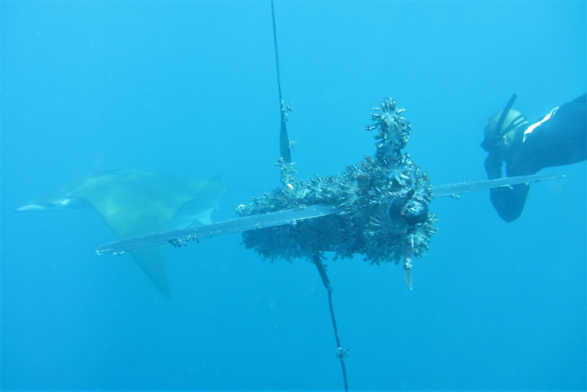
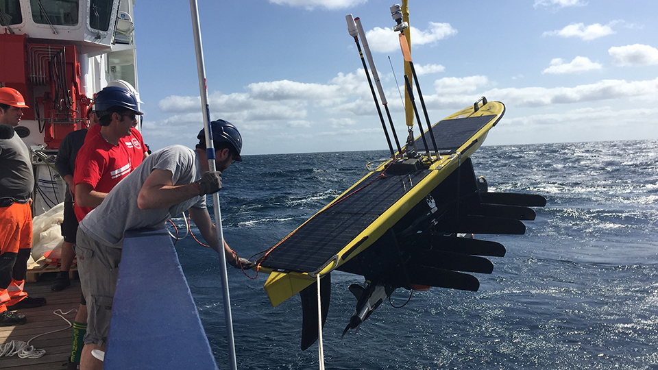
With the use of the WaveGliders, scientists want to better understand the ecosystem in the area of the Senghor Seamount. The gliders are equipped with sensors such as weather stations or measuring instruments for water speed and water direction. They detect, for example, conductivity, temperature, dissolved oxygen, pH or chlorophyll content. While the GEOMAR WaveGlider has already been recovered during the MSM61 cruise, the MARUM WaveGlider is now – after 2500 km and a short stop to clean the vehicle from barnacles by divers from the Cape Verde Institute INDP – on its 1400 km long journey back to Gran Canary.
The glider remain on its mission until the end of April to be recovered by a team of the Canary Institute PLOCAN and MARUM. Afterwards the collected data will be processed and evaluated.


