- Home
- Discover
- Ship's logs
- Logbuch MSM116
Logbuch MSM116
MARIA S. MERIAN on course for the Rio Grande Rise
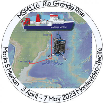
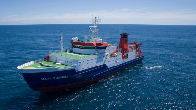
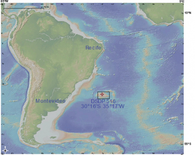
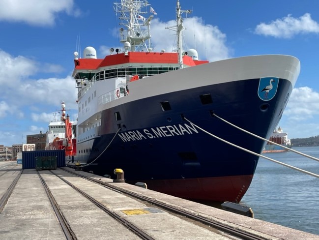
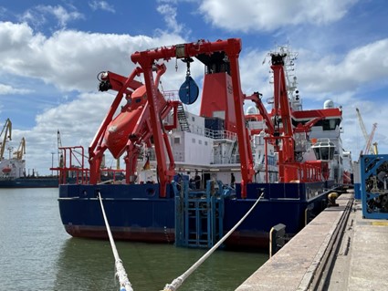
The German research vessel MARIA S. MERIAN will set sail from Montevideo, Uruguay, on April 3, 2023, beginning expedition MSM116. The destination of the MARUM expedition is the Rio Grande Rise, a submarine uplift between South America and Africa in the South Atlantic Ocean. Together with the crew of the MARIA S. MERIAN, co-chief Heiko Pälike from MARUM - Center for Marine Environmental Sciences at the University of Bremen and 21 other researchers from MARUM, Goethe University Frankfurt, the University of São Paulo and the University Federal Fluminense, Niterói, Brazil, will conduct research on climate history and ocean circulation.
The research objective is to obtain two continuous sedimentary sequences, as a geological history book, from the central Rio Grande Rise. These allow a reconstruction of the climatic evolution of Earth's history, back to a geologic epoch, the Miocene (about 5-23 million years ago), whose environmental conditions correspond to a future warmer Earth climate. Analysis of very well-preserved deposits of calcareous microfossils from these samples will then allow the study of surface and bottom water temperatures, changes in faunal composition, and components of the carbon cycle.
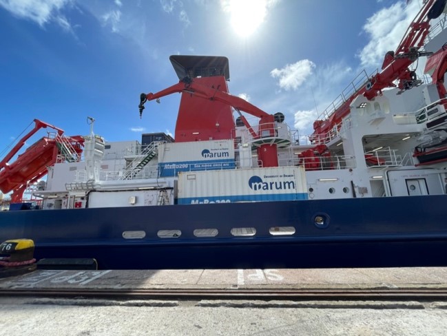
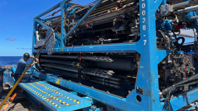
During the five-week cruise, the seafloor drill rig MARUM-MeBo 200 will be used for this purpose. This will allow the team to penetrate deep enough into the sediment deposits on the Rio Grande Rise to recover the corresponding time intervals in sediment cores. In addition, water samples will be collected, as well as information about heat flow in the subsurface.
The cruise is part of the research program in the Cluster of Excellence of the University of Bremen "The ocean floor - unexplored interface of the Earth", which is located at MARUM.
The team of expedition MSM116 will report about the cruise and everyday life on board in an expedition logbook:
Tuesday 28.03.2023; "Departure of the MeBo Team"
Bremen.
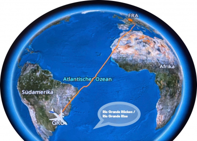
Today, despite nationwide strike actions yesterday, our MARUM-MeBo pre-departure team successfullydeparted for South America. The team aims to be ready in time before the MARIA S. MERIAN arrives in the port of Montevideo on March 30, 2023, to perform the complex installation of the MeBo system, shipped in eight containers.
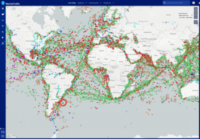
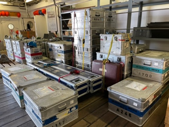
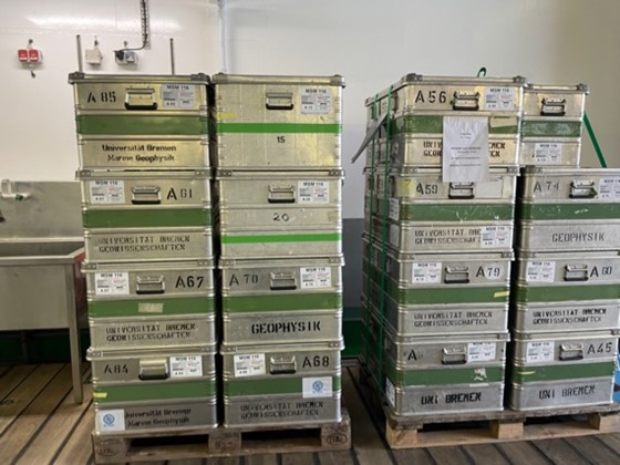
Research cruises often require a long planning and logistics lead time to transport all scientific instruments, laboratory materials, protective clothing, etc. to the ship. So we already packed our boxes in Bremen at the beginning of the year, which then made the long journey from Hamburg via Tangier and Santos to Montevideo on container ships from mid-February, arriving there four weeks later. We were able to track our container ships on the world map, and it is really impressive how many ships are on the move on the world's oceans every day.
Today, the MARIA S. MERIAN has already completed most of the return voyage of Expedition MSM115 from Elephant Island, about 250 kilometers from the northern tip of the Antarctic Peninsula.
Wednesday 29.03.2023; "Rendezvous with the team of the DUST 2023 expedition in Bremen airport"
Bremen.
Today the cruise leader team travels from Bremen to Montevideo. Already the first flight is a bit delayed, because the arriving aircraft had to be exchanged. However, this has the curious consequence that we can still meet and greet the scientific team from Bremen at the departure gate, who are just returning from their trip DUST 2023 with the Dutch research vessel RV Pelagia, what a coincidence! After a short exchange, the returning team is happy to travel back home after almost a month, and we are happy to finally get started. The MeBo team has already arrived in Montevideo.
Thursday 30.03.2023; "Arrival in Montevideo"
Montevideo.
After a long journey of about 20 hours we arrived well in Montevideo and are taken to our accommodation by the agent. With us in the hand luggage are some smaller scientific instruments, which either just came back from another expedition or which cannot be transported in the container.
Today, the MARIA S. MERIAN finally arrives in the port of Montevideo at 8 a.m. local time (five hours time difference to Bremen). The MeBo team is happily surprised to see that all ten containers are already waiting at the edge of the harbor, and the further work of loading the ship can begin.
In the meantime, the rest of the scientists from Bremen, Frankfurt am Main and Brazil have left for Montevideo and will arrive tomorrow. We still have some time to visit some sights in the old port city.
Friday 31.03.2023; "The team is complete, the wind is freshening up"
Montevideo.
The scientific team has now arrived in full, and the trip went well for all of them. The newly arrived can still recover a bit, and the MeBo team has already successfully tested the sled that launches MARUM-MeBo. Meanwhile, a stronger storm is passing Montevideo and the sea is a bit choppy. We follow with interest the wind and wave forecasts for the route of our research cruise and our working area. Strong swells and seasickness are not unheard of, but usually pass quickly. Launching research equipment in heavy seas is more difficult. However, it looks like the wind and waves will soon pass us by again.
Saturday 01.04.2023; "Unpacking and setting up"
Montevideo.
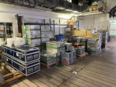
The MeBo team has continued to make good progress in setting up, installing and testing some components of the MARUM MeBo. Now the expedition's co-chief is also meeting with the captain of the MARIA S. MERIAN and has the opportunity to check the exact layout of the laboratories, and to move boxes of scientific material into position. There are many boxes to be emptied, and the contents firmly fixed or "lashed" to the work surfaces. Otherwise, during ship movements, light and heavy equipment will move and come to harm.
Sunday 02.04.2023; "All aboard!"
Montevideo.
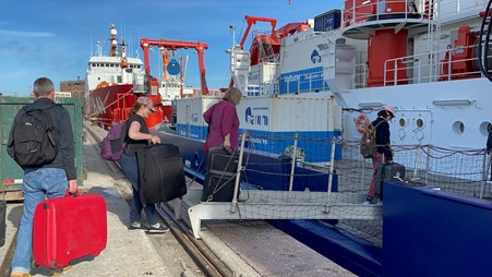
Today is the day many participants have been waiting for: We are allowed to board and move into our cabins! A transfer takes all of us and our suitcases to the harbor area, which is normally off limits. The weather is good, the crew under Captain Ralf Schmidt is very helpful.
We are looking forward to further preparations before the start of our trip tomorrow. We will all be testing ourselves for the next five days on COVID so that we can start the voyage safely. We have also completed our mandatory safety briefing led by the 1st Officer.
Today, April 2, is special for another reason: it was the birthday of the ship's namesake, Maria Sybilla Merian, born April 2, 1647. She was a German entomologist, naturalist, and scientific illustrator who produced widely acclaimed folios, illustrations, and research in Germany, Surinam, and the Netherlands. She was one of the first European naturalists to observe insects directly.
Monday 03.04.2023; "Cast off!"
Position: Harbor basin, Montevideo.
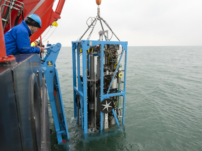
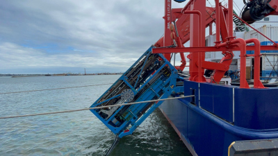
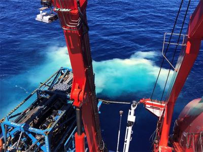
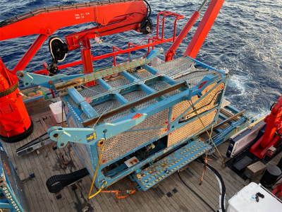
Today the ship is ready to sail. However, at about 10 a.m. local time (UTC-3), 5 hours after Central European Summer Time, a final test will be performed with the deployment of the MARUM-MeBo instrument. The MARUM-MeBo is the same size as a 20-foot container and can therefore be easily transported.
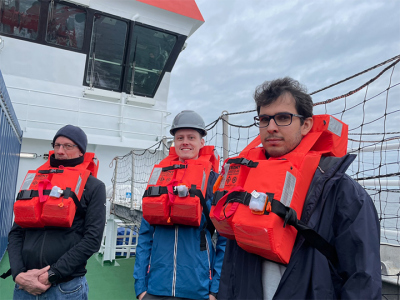
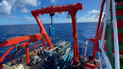
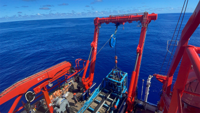
It is deployed with a heel frame (Launch and Recovery System, LARS) from the horizontal to the heel position using the A-frame. The port test went as expected, and at just before 2 p.m. the lines were released and we set off toward the Rio Grande Rise. An important exercise is the General Alarm Drill, where we all practice going to the muster station in case of evacuation, putting on life jackets, and climbing into the lifeboat.
Maundy Thursday 06.04.2023; "First instrument deployment"
Position approx.: 31°59.2'S, 47°07.6'W
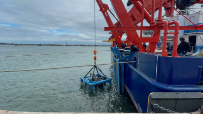
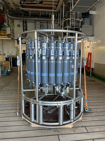
Today we will perform the first instrument deployment in the afternoon. To calibrate the sound velocities in the water column needed for our mapping, we will lower ("fieren") a CTD with a crane water bailer from the ship on a cable to the seafloor.
Thursday 06.04.2023; "First instrument deployment"
Position app: 31°38’S, 40°48’W”
CTD stands for electronic conductivity (salinity), temperature, and depth, from which the speed of sound can be calculated. Finally, the sampling unit allows targeted sampling of seawater at various depths. The 24 bottles can be opened and closed selectively by the ship, bringing pure water samples from specific depths to the deck for analysis. We are particularly interested in the Antarctic Intermediate Water (AAIW), which is located at about the depth of our station on the Rio Grande Rise and transports important nutrients (phosphate, nitrate) to different areas.
Easter Saturday, 08.04.2023; "Rio Grande Rise"
Position: DSDP Site 516, Rio Grande Rise
Last night we arrived at our planned first deployment site. Weather conditions are very good: relatively low swell with light winds. The final system tests for the MARUM-MeBo were positive, and we were full of anticipation for our research. Unfortunately, we were ordered by a Navy ship to stop our research activities in this area, about 1,000 kilometers from the coast. The MeBo was only in the water column at that time and was recovered without having reached the seafloor. We then headed southwest to leave the area and were escorted at a distance by the naval vessel.
Monday+Tuesday 10-11.04.2023, "Mapping but no sediment in MeBo range"
Position: ca. 34º38'S, 26º17'W.
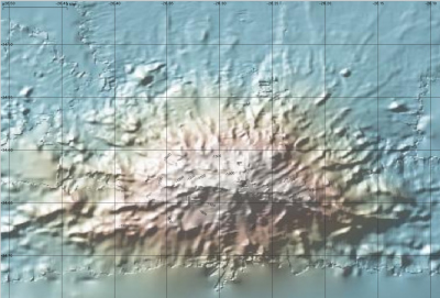
Early in the morning we finally left the area. As a first alternative, we chose an elevation nearby shallow enough to be eventually sampled by MARUM-MeBo. We are aided in our search by existing seafloor mapping from many international expeditions that have now surveyed nearly 25 percent of the seafloor in detail using multibeam echo sounding techniques, supplemented with satellite data. These large datasets are freely available (for example, at https://www.gebco.net and https://www.gmrt.org).
We were able to use a copy of the GMRT database that was provided to us by GMRT prior to the cruise for such purposes, since we do not have the capability at sea to transfer large amounts of data online. This location had been visited previously by the US research vessel Nathanial B. Palmer. After mapping with our parasound system, it unfortunately turned out that there is too little or no sediment on this volcanic rise at MeBo accessible depth.
Further options further south are unfortunately not feasible due to high waves and winds. Therefore, we are now heading north, heading for Stocks Seamount. This is on our general route to the destination port, and is named after Theodor Stocks, who discovered Stocks Seamount on the Meteor Expedition from 1925 to 1927.
Friday 14.04.2023, "In the tropics and near Archipelago Islas de Martim Vaz and Trindade"
Position: approx. 20º38'S, 30º10'W
On our longer transfer today we pass the volcanic archipelago around Islas de Martim Vaz and Trindade. It is clearly noticeable that we are now in tropical areas: The water temperature is 28ºC, the air temperature 27ºC.
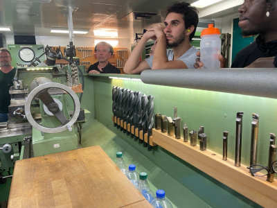
In addition to our research about Stocks Seamount, the chief engineer gives us a very interesting and informative tour through the engine room of the MARIA S. MERIAN and explains the extensive measures and facilities necessary for self-sufficiency on board, for example the purification of waste water, production of drinking water by osmosis, the complete waste separation and storage (everything is collected!), as well as the diesel-electric drive of the two 360º rotatable drive pods of the MARIA S. MERIAN and the bow thruster.
Sunday, 16.04.2023; "Bahia Seamounts"
Position: approx. 14º27'S, 032º18'W
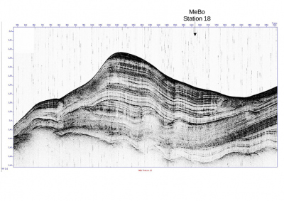
Early at night, on our way to our next destination, we use a multibeam echosounder and parasound to map one of the southern seamounts of the Bahia Range, which has been dated in the literature as significantly younger than the surrounding seafloor crust. Our echo sounder systems for mapping emit sound waves and show from the travel time of the "echo" either the distance to the seafloor or the different sediment or rock layers below the seafloor.
The multibeam extends in segments from starboard to port (hence "fan"), and therefore produces a two-dimensional image of the bathymetry when underway. Additionally, the so-called "backscatter" can also tell something about the "roughness" of the seafloor material.
To map below the seafloor, we use our parasound system. This system is based on the so-called parametric effect and generates a non-linear superposition from two higher frequency signals within the seafloor. Ideally, this system allows mapping up to 100 meters depth. Both systems use frequencies that cannot be heard by living organisms.
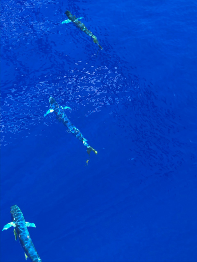
Despite the relative young age of the Bahia chain, our system at this site shows 30-40 meters of sediment at just over a kilometer of water depth: A good sign! In the afternoon we finally reach Stocks Seamount, and chart at reduced speed to get a good bathymetry map. In the process, we are visited by the first larger fish, which are not irritated by the MARIA S. MERIAN.
Monday, 17.04.2023; "MeBo Deployment"
Position: ca. 12º14'S, 032º00'W
In the morning we have now completed our preliminary mapping of the Stocks seamount and actually found some interesting bathymetry of this seamount. The literature suggests that this elevation is of volcanic origin already more than 80 million years old and was initially above water. Then the eroded seamount (now strongly flattened) sank deeper and deeper.
Today, the upper plateau is in about 1,600 meters of water depth, and we are eagerly establishing a first drilling position. Starting in the early afternoon, the MARUM-MeBo system test is completed, and we are off to the deep!
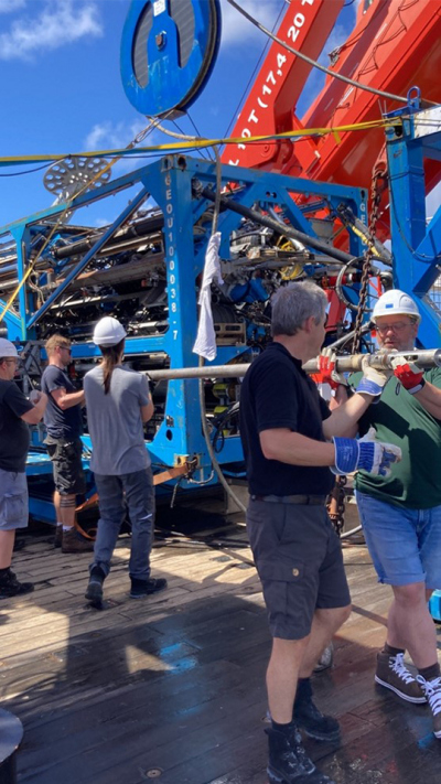
The MeBo is connected by cable via video and control telemetry to a control container on deck, where our MeBo team expertly and with great precision controls and observes every step. This operation is followed by everyone with great excitement from a safe distance, and at about 7 p.m. the drill head touches the seafloor - and the first bright cuttings can be seen via video link.
Tuesday, 18.04.2023; "Drilling"
Position: 12º14.945'S, 032º00.696'W, Station GeoB25308-1.
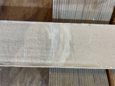
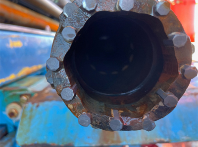
We closely follow the activities of the MeBo deployment via telemetry transmitted by fiber optic cable and videos from the various cameras installed in the MeBo unit. You can see drill pipe being attached and detached, the winch and cable of the core grab being retracted and extended to retrieve the inner tubes containing sediment from the borehole Also, the sediment plumes that can be seen near the borehole from which the borehole mud is transporting sediment up out of the borehole. It turns out that the upper sediment layers are relatively difficult to core because soft sediment and arguably granular particles also accumulate on the core hook. It is both exciting and tedious to watch the extraction of the cores. The sediment that we can already see in the rinse, as well as at the lowest point in the pilothulls of the cores, looks white and like typical pelagic sediment.
Wednesday, 19.04.2023; "MeBo back and core processing"
Position: 12º14.945'S, 032º00.696'W, Station GeoB25308-1 (MeBo)
After many attempts, the MeBo has now drilled to a depth of 24 meters, with on the one hand relatively easy penetration, but in the lower layers a reduction in rotational speed, and below 24 meters difficulty in fishing out the core tubes.
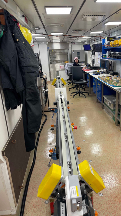
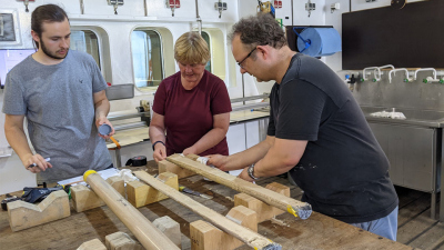
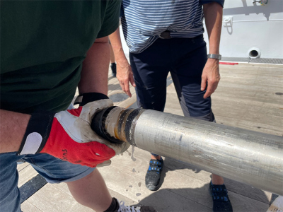
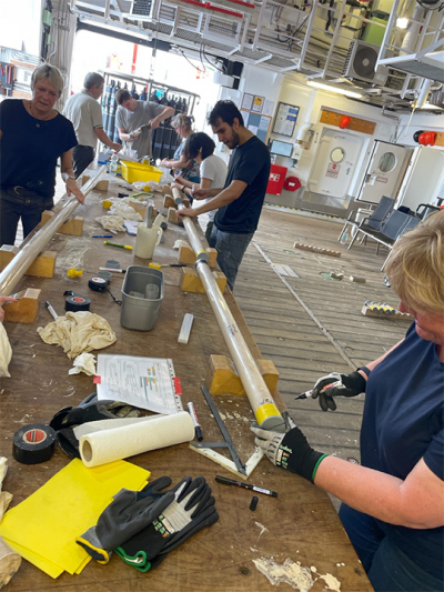
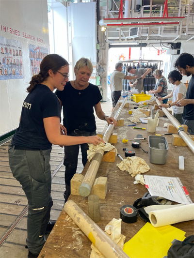
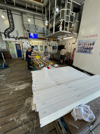
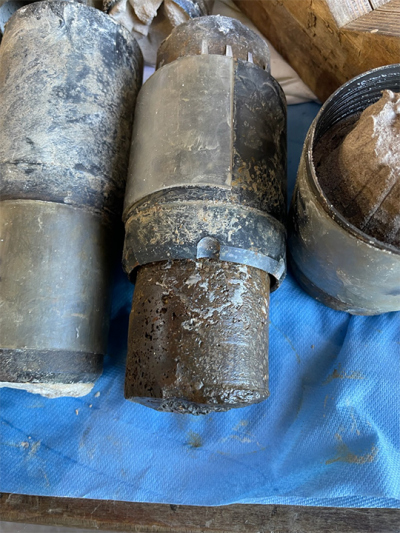
We are now using a full-core drilling unit, which, without taking cores, should deepen the hole further to increase core recovery. However, from about 35 meters onwards, more and more flushing pressure is required to continue drilling, until finally the necessary pressure becomes too high at a borehole depth of about 49 meters. Therefore, we decide to stop this operation for the time being in order to find out something about the nature of the sediments. There is a lot of excitement on deck to open the cores to see what kind of sediment we got, as well as possibly make age determinations by biostratigraphy. After opening the seven preserved core tubes from the top 24 meters of sediment layer on deck, they will first be curated in the lab, that is, cataloged and end-capped. Finally, they will be measured for various properties, such as magnetic susceptibility and electrical conductivity, by our Physical Properties Team Yang and Christian in the Multi Sensor Core Logger.
Thursday, 20.04.2023; "MeBo maintenance, core description and second MeBo deployment"
Position: 12º14.620'S, 032º00.455'W, Station GeoB25310-1 (MeBo).
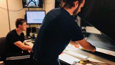
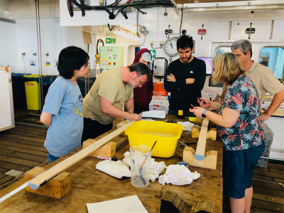
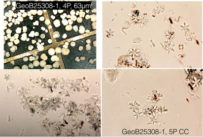
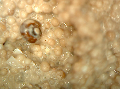
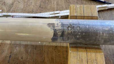
While the MeBo team is servicing the instrument and getting it ready for use again, the rest of the chain of core description and scientific processing is now underway: The sediment cores are first opened lengthwise and divided to obtain a working and archival half. These are photographed with a color scanner and described sedimentologically and biostratigraphically. First results of sedimentology show medium-coarse-grained foraminifer sands as well as foraminifer muds with nannofossils.
It is probably the foraminifera sands, i.e., pelagic biogenic sediments but with "sand"-like grain size, that are causing some problems during coring. We spent the maintenance time of the MeBo with further mapping of the new work area, and in the evening seafloor drilling equipment is again deployed about 800 meters northeast of the first MeBo station. At this location, the upper layer, which may have caused us problems with coring, is about 7 meters thinner.
Friday, 21.04.2023; "MeBo borehole logging"
Position: 12º14.620'S, 032º00.455'W, Station GeoB25310-1 (MeBo)
Our next strategy was to use the MeBo to first drill the upper 100 meters of the borehole with a full borehole unit to observe general drilling conditions. Then to survey with several borehole probes, to take off briefly with the MeBo, to move it 30 meters horizontally, and then to core the area below 30 meters sediment depth, where it might be easier to obtain cores. We decide to use slightly softer core catchers, also based on the sediments recovered so far.
While the MeBo team is concentrated on deepening the borehole, our biostratigraphers Heather Jones and Jens Herrle have meanwhile carried out first age determinations of the cores with the help of the nannofossils. Thereby, a progressive age sequence from Pleistocene (1.7 Ma) to Pliocene (ca. 4-4.5Ma) emerges from top to bottom in the upper 24 meters: very promising for the deeper sequences!
Saturday and Sunday, 22-23.04.2023; "MeBo recovery and heat flux measurements".
Position: 12º14.620'S, 032º00.455'W, Station GeoB25310-1 (MeBo)
Unfortunately, there was a problem stowing the very last drill pipe, which prevented us from moving it directly and continuing drilling. On Sunday, we used the time to perform a heat flow/temperature gradient transect in the area and deployed MeBo again on Sunday evening at the previous position to obtain cores below 30 meters depth.
Further links: https://www.ldf.uni-hamburg.de/merian/wochenberichte.html
Monday, 24.04.2023; "Visitor on the high seas"
Position: 11° 52.7` S, 33° 03.1 W
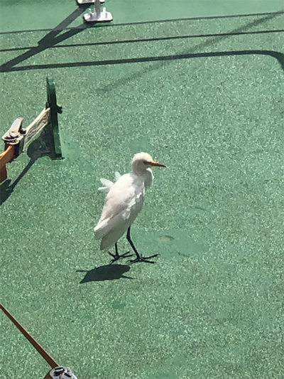
It was very windy today, with strong winds from the south east. In the afternoon the MARIA S. MERIAN received a visitor in the form of what looked like a young Egret blown off course. With its long legs and short wings, it was clearly out of its natural environment far out to sea ~220 nautical miles from the South American coast. It spent some time on the Observation deck regathering its strength.
It is an interesting question about where did it come from. Cattle Egrets are native to Africa (~3,500 nautical miles away), but were recorded as colonizing the Caribbean from the 1930s onward. No one quite knows how they managed the Atlantic crossing, perhaps they hitched hiked part of the way on passing ships. Our visitor left us after a short rest and we wish it good luck with the onward journey towards land.
Logbook written by Heather Johnstone.
Dienstag, 25.04.2023; „Bohr-Fortschritt“
Position 12° 14.6` S, 32° 00.45`W
Das Meeresbodenbohrgerät MARUM MeBo-200 machte gestern gute Fortschritte bei der Bohrung in Richtung der Stelle, an der es mit den eigentlichen Kern-Entnahme beginnen sollte. Später blieb es jedoch beim Bohren in 45 Metern Tiefe stecken, so dass beschlossen wurde, es wieder nach oben zu bringen und an einer etwas anderen Stelle des Stocks Seamount einzusetzen. Es bleibt zu hoffen, dass der neue Standort weniger der problematischen Foraminiferensandabschnitte enthält, die so schwierig zu bohren sind.
Despite containing less material than originally hoped, the Sediments team were pleased to welcome some new cores on board. Each section was carefully curated and described. Recovered sediments consisted of nannofossil ooze with forams and coarse foram sand. The MeBo is now being prepared for a quick turnaround and redeployment this evening.
Logbook written by Heather Johnstone.
Wednesday, 26.04.2023; "Shades of blue"
Position: 12° 13.0' S, 32° 06.2' W
On board the MARIA S. MERIAN we have quite a bit to do with core, sample and data material. Due to the mostly sunny weather with temperatures around 29°C in the much lower latitudes than originally planned, we all take the opportunity to go on deck where it does not disturb the work on deck and the general workflow.
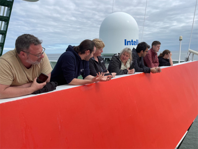
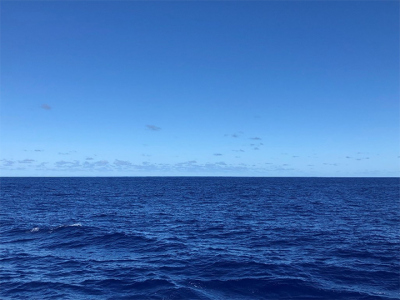
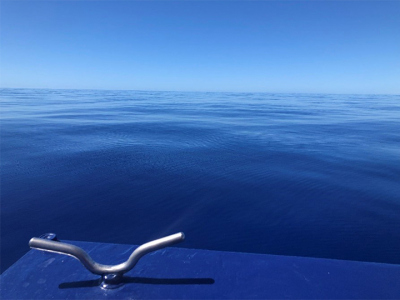
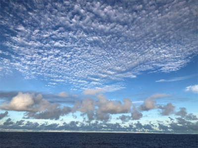
Experiencing more daylight, fresh air and, depending on the wind situation, more or less pleasant breezes, is an important part of the daily structure. Always particularly impressive are dimension, vastness, changes in the colors of sea and sky. No view is like the other, especially the extensive scale of different shades of blue. And for us, far more than mundane scattering of short-wave light in the upper layer of water. That and the starry night sky of the southern hemisphere are moments in which one really feels privileged.
Logbook by Ulla Röhl.
Thursday, 27.04.2023; “Exciting moments on board“
Position: 12° 13.0’ S, 32° 06,2’ W
On board the research vessel MARIA S. MERIAN there are so many exciting moments, speaking of which one will smile heartily in the future. From my point of veiw, “MeBo on deck” definitely belongs to most exciting moment.
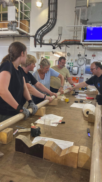
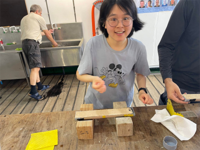
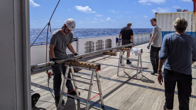
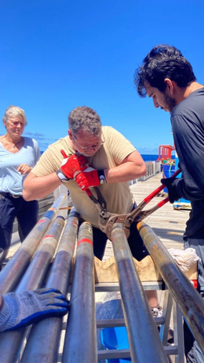
As we can follow the drilling progresses on MeBoTV, shortly after the MeBo gets out of the water, we will all be ready to welcome the first core barrel. After the MeBo Team unlocks a core liner, Heiko will put on the numbered clip on it – this is an extremely important work, because it dertermines if the order of recovered sediments are correct and no one expects a messed up stratigraphy. Rigth after, the Deck Team will carry it to the front of Hanger, where the Core Catcher Team will unscrew the core catcher. This is the next most exciting moment as everyone is eager to see what have been recovered inside the core liner!
Tomorrow early morning we will expect the third “MeBo on deck”, and all of us cannot wait to uncover what surprise MeBo will bring us this time! One can follow the drilling progresses by watching the MeBo TV – you can always find several of us in the Hangar watching the big screen with the MeBo cameras that are about 1600 meters down in the seawater.
My roommate Heather Jones and I will spend some time in our cabin before breakfast and bedtime. We will cheer when the MeBo successfully recovers a core barrel, and get nervous when it gets a problem. Yes, MeBo is our great hero.
Logbook by Yang Zhang.
Friday, 28.04.2023; "Core recovery and work in the hangar"
Position: 12° 13.0' S, 32° 06.2' W
This morning we were able to receive the MeBo200 back on board, this time with a larger number of cores. We had chosen a location about 6 nautical miles from our last positions to further reduce coarse-grained foraminiferal sands. This time we actually discovered and recovered sediments up to late Paleocene (57 Ma),
even with incorporated Cretaceous material! We are now enjoying going through the rehearsed work flow in a concentrated manner, and the team has settled in nicely.
Sunday, 30.04.2023; "Start of the last week"
Position: 12° 13.0' S, 32° 06.2' W
Like every Sunday, today we have ice cream for lunch (and croissants for breakfast) as dessert. A clear sign that our fifth and last week of this trip is about to begin. We revisited our productive location from the last drilling, and this time the MeBo team actually drilled about 2 meters into the very hard layer we found in the last drilling, using a special rotary inner core barrel. Logging, drill string dismantling, and recovery of the MARUM-MeBo200 will now extend into the early morning hours so that we can determine the extent to which we have been able to complete our stratigraphic profile. We will then use the parasound profiles from our hydroacoustics team to determine another location.
Monday, 01.05.2023; "Basalt"
Position: 12º 12.988'S, 032º 06.162'W
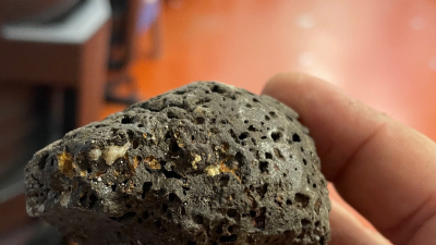
Today the cores from our MeBo-200 mission 20-1 come on board. This time, coring took a little longer because we were trying to core the presumed bedrock beneath the sediment so that we could later make accurate measurements of the rock age of the seamount. In the literature, the Cretaceous period was given for the Seamount chain as a whole, and about 59 million years (Ma) - i.e. the Paleocene - for the youngest eruptive formations of volcanic rocks. And indeed: after about five hours of drilling on a hard substrate, the lowest cores actually yield a good meter of well drilled bedrock at a depth of about 75 meters; we are thrilled!
Thursday, 04.05.2023; "Last Core on Deck”
Position: 12º 12.625'S, 032º 06.691'W
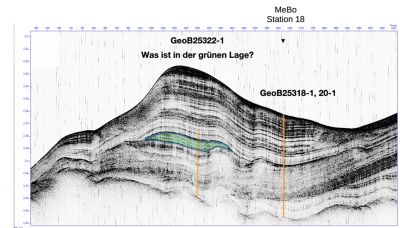
Today we finished our last MeBo-200 mission. The objective was to explore a previously unsampled sediment layer that we had explored from the parasound profile (colored green in the figure). Based on our previous results, the sediment above was probably Miocene or younger, while we had found Eocene or older in the lower part of the previous drilling. With the cores from the last drilling, we were able to solve this puzzle with biostratigraphic samples of nannofossils (the deposits of calcareous algae), and now we actually had the entire Paleogene complete, as the "green" layer consisted of Oligocene (circa 34-23 million years (Ma)) sediments. We are very satisfied with this, and can now generate a more accurate age model of the entire sediments.
Friday, 05.05.2023; "Dismantle, clean up + pack up"
Position: ca. 12ºS, 032º 36'W
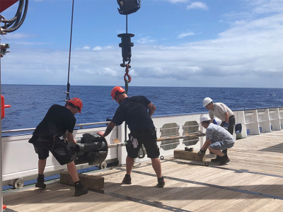
After the scientific missions of MeBo-200 are finished, we do some final mapping work today. Now there is also a lot of work to do: the labs have to be cleaned, boxes have to be packed up again. Most time-consuming of all: The MeBo-200 and equipment have to be put back into their eight containers, and the big heavy block at the stern gallows, over which the cable to the MeBo runs from the winch, has to be removed. Especially for the MeBo team as well as the on-board crew this is another sweaty job, and the rest of the science team is preparing the final documentation of the raw samples, data, as well as first results.
Saturday, 06.05.2023; "Sailing to Recife"
Now we are sailing about 300 nautical miles to Recife, holding our last science meeting for the time being. Tomorrow morning, at about 8 a.m., we should reach the harbor in Recife, and thus the end of a very exciting, eventful and ultimately successful voyage.
Sunday, 07.05.2023; "Recife and end of the cruise"
Position: Recife, Pier 5
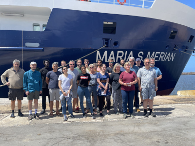
This morning the pilot came on board at about 8 am, and already at 9 am the MARIA S. MERIAN was moored at Pier 5 in Recife. Unfortunately we can't load the containers until tomorrow, but we still have time to clean our cabins and take a last group photo. This is the end of cruise MSM116, and Rebecca Hummels from GEOMAR takes over for MSM117 "WB Circ Brazil".


