- IODP at MARUM
- Partner to the ECORD Science Operator
- Offshore core curation and measurements
- MSP offshore data management and IT
- Curatorial Database and Sample Management System
Curatorial Database and Sample Management System
mobile Drilling Information System (mDIS)
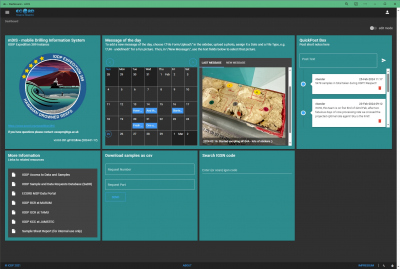
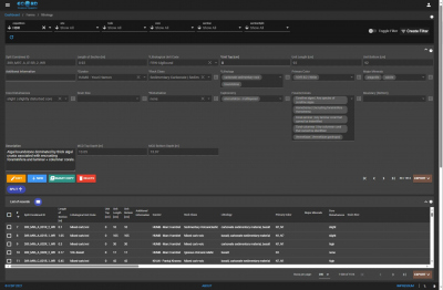
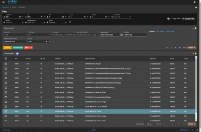
The mobile Drilling Information System (mDIS) is a database management application originally developed by International Continental Scientific Drilling Program (ICDP) and provided with adaptions to ECORD Science Operator (ESO) for capturing and curating metadata on geological cores and samples, drilling progress, and lithology on Mission Specific Platform (MSP) Expeditions under the auspices of the International Ocean Discovery Program (IODP). During the operational phase, data reports and sample labels support curating and archiving of the samples. In addition to capture of curatorial information, the system is used to store lithological descriptions, section images, and other files (e.g. scanned VCD sheets) assigned to sections.
The mDIS is a so-called client – server system, wherein the server (backend) is either hosted from within the Database container (during offshore phase) or in the IT Housing Center of University of Bremen (upon return from offshore phase) and accessed by client computers through a php-based frontend executed in standard web browsers, which makes it client OS independent. Further, the frontend is fully responsive and thus can also be opened on mobile devices, such as tablets or smartphones, from anywhere through the internet. During the moratorium period, the data which is visible without login (anonymous view) is reduced to a minimum. Science Party members of a given expedition receive personalized logins in order to access all available metadata in the respective expedition's mDIS instance during the moratorium period.
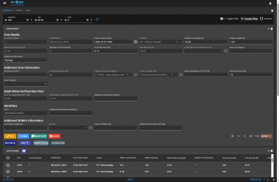
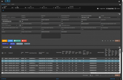
The backend of mDIS is an SQL based database, and by the nature of this the system is strongly hierarchical, reflecting the IODP naming conventions. It starts with program as the highest hierarchy level, followed by expedition, site, hole, core, section, sample, etc. levels. Each hierarchy level is defined by a data table and an entry mask (form), which can be customized by the ESO Data Managers for project specific needs.
After the moratorium expires, all curatorial information of an expedition that has been captured in the respective separate mDIS instance of that expedition up to this point is transferred to the all-encompassing BCR curatorial mDIS instance.


