- Home
- Deutschland Tour 2021
- Stage 1. Stralsund – Schwerin
Stage 1. Stralsund – Schwerin
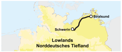
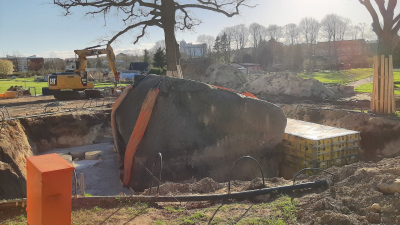
The Deutschland Tour 2021 starts in Mecklenburg-Vorpommern. The first stage crosses through a landscape that was shaped by large ice sheets and glaciers. They advanced and retreated through the landscape in a series of glacial and interglacial periods (ice ages). Over the last several million years, the alternating glacial and interglacial period governed Earth’s climate, much like a metronome with a beat of several ten thousands of years. The most recent cold period is called the Weichselian glaciation and occurred some 20,000 years ago. Back then, large parts of Mecklenburg-Vorpommern, Schleswig-Holstein, Berlin and Brandenburg were covered with ice. But the ice did not come alone, the ice came with big amounts of large boulders and fine sediment. These rocks and sediments now make up the landscape of Mecklenburg-Vorpommern.
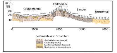
The first 100 kilometres of the stage take the riders over so-called ground moraines of the Weichselian glaciation. These are virtually flat blankets of till deposited underneath the glacier. They are mainly composed of clay, silt and sand and they cover most of the north-eastern part of Mecklenburg-Vorpommern. After 100 km, the riders encounter a little topography. They have to get overcome a ridge that is 200 km long, but only reaches up to about 150 m above sea level. The ridge runs in north-westerly south-easterly direction through Schleswig-Holstein and Mecklenburg-Vorpommern and was formed by debris that has accumulated at the snout of the glacier. It thus marks the maximum advance of the glacier some 20,000 years ago.
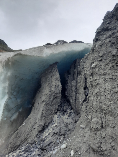
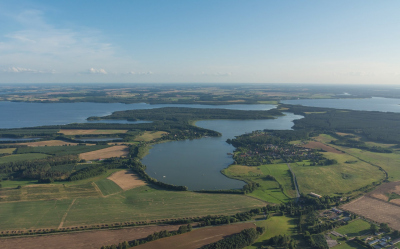
After the small obstacle, the riders cross the Mecklenburg Lake Plateau, the land of a thousand lakes. Some of these lakes are so-called kettle lakes. Kettle lakes form when blocks of ice are left behind by retreating glaciers. The ice becomes buried in sediment deposited by meltwater streams and when the ice finally melts, a depression remains. Now, these depressions are filled with water and we call them kettle hole lakes. Other lakes were created by erosion, when meltwater from the retreating glacier impacted on the surrounding rocks, scouring them with brutal energy. Similar to what we observe in the present-day Alps, meltwater from the Weichselian also searched its way through the glacial valley. Back then, the water ultimately joined a river coming from the south and flowing parallel to the ice margin. On this path, the meltwater gradually lost speed and thus energy. When cyclists lose energy, they quickly replenish sugars to get back on track. Meltwater, on the other hand, responds to energy loss by no longer transporting the heaviest and largest sediment grains. In comparison to clay and silt grains, sand is relatively heavy and is thus deposited first by the meltwater. This is the reason why we find mostly sands in the subsurface of the Mecklenburg Lake Plateau and south of Schwerin. Here, on the ice-free side of the Weichselian terminal moraine, the meltwater ran out of energy and formed sandy outwash plains. This is the geologic setting for the sprinters, who unlike the meltwater, do have some remaining energy to go for a win. My secret tip for this stage: André Greipel.
