Page path:
- Home
- Research
- Expeditions
- 2010
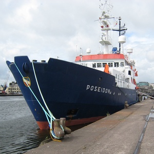
- RV Poseidon P400
RV Poseidon P400

Chief Scientist
|
Phone: |
|
|
Email: |
|
|
Room: |
MARUM II, 3270 |
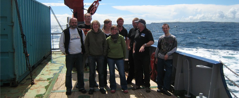
Participants
- Markus Eisele (Marine Geologist), MARUM
- Götz Ruhland (ROV pilot), MARUM
- Marco Klann (Technician), MARUM
- Jana Stone (Video Documentation), MARUM
- André Freiwald (Marine Geologist), SaM
- Lydia Beuck (Marine Biologist), SaM
- Werner Dimmler (ROV pilot), Fielax
- Marc Coughlan (Irish Observer), UCC
Additional Info
- Cruise blog
- Actual position of RV Poseidon
- Control Station, Kiel
- ROV Cherokee
- EU FP7 HERMIONE project
Participating Institutes
Cruise Report
Objectives
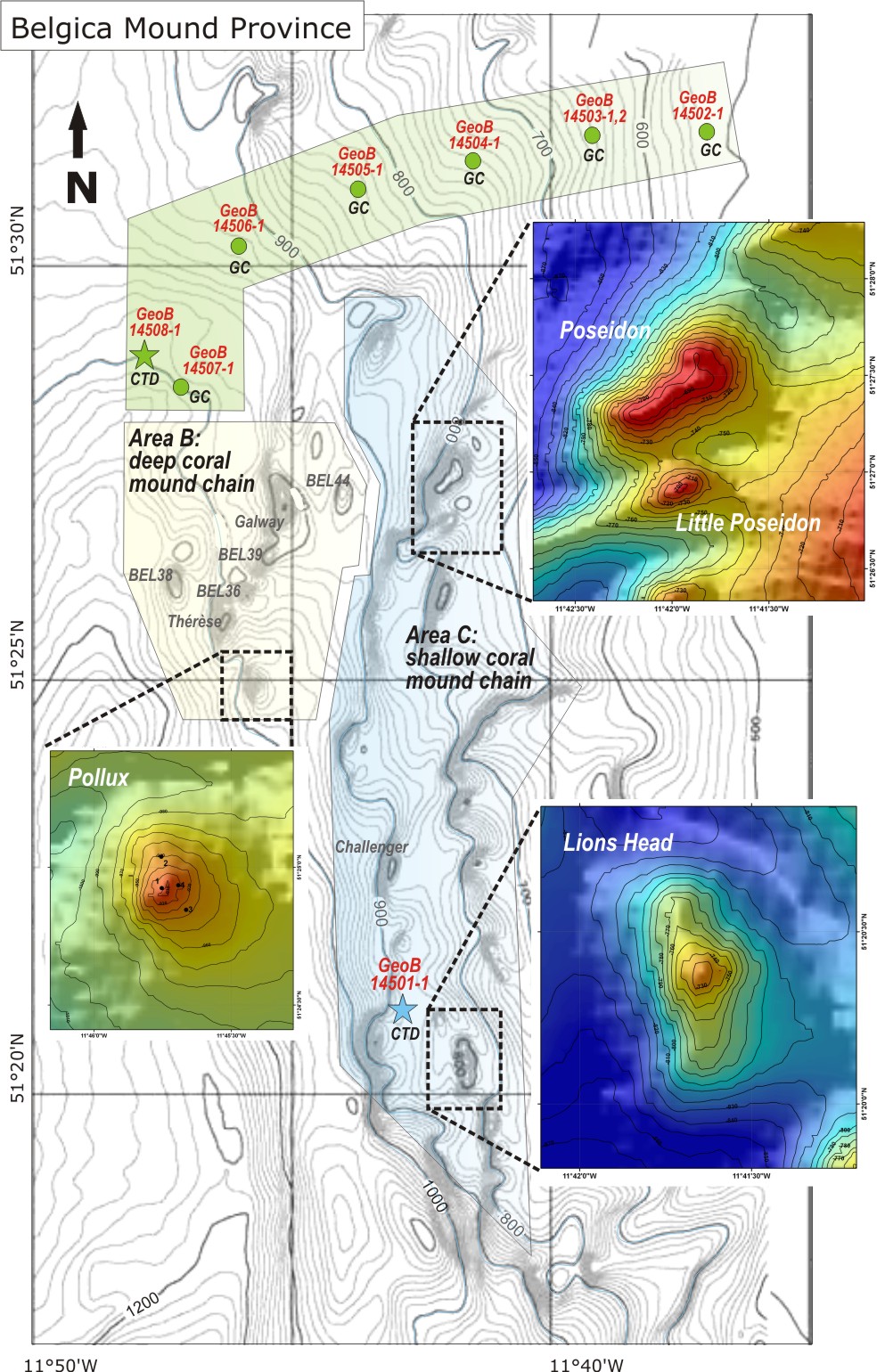
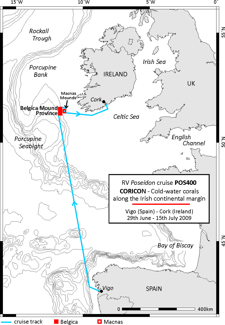
The focus of RV POSEIDON expedition P400 was on the investigation of cold-water coral mounds of the Belgica Mound Province within the Porcupine Seabight along the Irish margin, where coral mounds are aligned as chains that stretch from north to south parallel to the slope. The coral mound chains are more or less restricted to distinct water depth intervals of ~700-900 m (shallow mound chain) and 900-1,050 m (deep mound chain). The shallow and deep coral mound chains show significant variations in their recent coral coverage with the deeper mounds hosting the most vivid coral communities in the area, whereas it is assumed that the mounds of the shallow mound chain are dominated by coral rubble and dead coral framework. This points to a displacement of the vital coral communities towards deeper waters in former times that might be related to changes in the water mass structure. ◊ The aim of RV POSEIDON cruise POS400 was therefore the reconstruction of the Holocene development of the Belgica Mounds with special emphasis on the relation between changes of the regional oceanography (and/or other environmental parameters) and the vitality of cold-water coral ecosystems. Existing data revealed that the onset of an interglacial current regime with increased bottom currents has favoured the re-settlement of cold-water corals in the Porcupine Seabight after the last glacial period. But there is still little knowledge about the dynamic development of these ecosystems primarily on millennial timescales during the Holocene.

Working Programme
The working programme focussed on the application of the ROV Cherokee (MARUM, Bremen), and the sampling of long sediment cores and surface samples by a gravity corer and a grab sampler. The video surveys and sediment sampling were accomplished by yoyo CTD measurements, during which the CTD was continuously lowered and raised for a ~12 hours period to trace tidal fluctuations.

The 1st sampling location within the Belgica Mound Province was a so-called 'off-mound' area, where a series of coral-barren sediment cores covering a water depth transect between 550 and 1,050 m was collected. The sediment sampling in this area was accomplished by a yoyo CTD station (1,000 m water depth).
The 2nd working area covers Pollux Mound that belongs to the deep coral mound chain of the Belgica Mound Province. The top of Pollux Mound comprises one distinct peak at a water depth of 910 m with a base at around 990-1,000 m water depth. Solely sediment samples were collected comprising 10 grab samples and 3 gravity cores.
The 3rd location observed was Lion's Head Mound. This mound belongs to the shallow mound chain of the Belgica Mound Province and is located in a water depth between 720 and 840 m. As this coral mound was not described before, an extensive sediment sampling (9 grab samples, 3 gravity cores) and video survey (3 ROV dives) programme was conducted. In the NW of Lion's Head Mound a second yoyo CTD measurement was performed (850 m water depth). Another target of the shallow mound chain was Poseidon Mound which has an elevation of ~130 m with a base at around 820 m water depth. Directly to the south a rather small coral mound called Little Poseidon Mound (height : 50-60 m) is developed. Two ROV dives were conducted across these two mounds and 5 gravity cores and 12 grab samples were collected.
The 4th working area covered an area connected to the eastern border of the Belgica Mounds. In water depths of 300-500 m, numerous small mound-like structures are developed those origin is up to now unknown. The so-called Macnas Mounds have diameters of 50-100 m rising only around 5-10 m above the ambient seabed. Two ROV dives were conducted across some of the Macnas Mounds and along the slopes of a channel in the NW of the mounds. The video surveys were accomplished by 2 gravity cores collected from the top of two Macnas Mounds and a yoyo CTD station (380 m water depth).
Cruise Track
Sampling Sites