- IODP at MARUM
- Partner to the ECORD Science Operator
- Offshore core curation and measurements
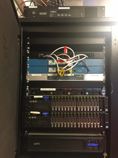
- MSP offshore data management and IT
MSP offshore data management and IT
Introduction
ECORD Science Operator Data Management for Mission Specific Platform (MSP) expeditions has the following main objectives:
- systematic capture and storage of data and metadata during all expedition phases (s. below), using documented and standardized procedures
- quality control in order to ensure dataset integrity
- enabling access to MSP expedition data, initially only for the expedition’s Science Party only (moratorium period), later also for the entire scientific community
- long-term archiving of MSP expedition data adding to the legacy of IODP
For Mission Specific Platform (MSP) expeditions, the data management process can be divided into three phases.
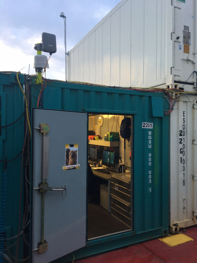
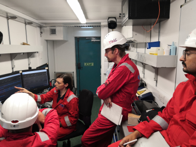
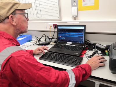
The Offshore Phase lasts for the duration of the offshore drilling operation. Due to the limited facilities onboard mission specific platforms, only time-sensitive scientific data or data that has a decisive influence on the drilling process are generated in addition to the basic curatorial data. Data types include curatorial metadata on sites, holes, cores, sections and samples, core-catcher photographs, initial lithological descriptions and measurements, multi-sensor core logs, ephemeral properties, microbiological observations, downhole logs, drilling parameters and expedition documentation.
The Onshore Phase begins when the offshore drilling operation is completed and lasts until the end of the moratorium period. On completion of the Offshore Phase all data from the offshore server are transferred to the Bremen Core Repository and are available to expedition scientists via password-protected data portals. It is during this phase that the bulk of the scientific data and interpretations are generated, especially during the Onshore Science Party (OSP) in Bremen. Examples of additional data types generated during this phase are detailed visual core descriptions of the split cores, high resolution line-scans and core overview images, measurements of various physical and chemical properties as well as stratigraphic data.
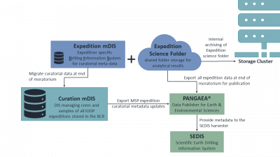
The Post-expedition Phase begins at the end of the moratorium period. In this phase the data management process changes from the capture of expedition data to archiving of the data, and provision of the data to the scientific community. This is when the expedition data are transferred to PANGAEA - Data Publisher for Earth & Environmental Sciences. The downhole log data are transferred to the LDEO IODP Log Database. Curatorial metadata are also exported and incorporated into the BCR curatorial mDIS (mobile Drilling Information System), which is the primary long-term sample management system for all IODP MSP expeditions as well as all IODP cores stored in the BCR.
During Offshore and Onshore phase storage of MSP expedition data consists of two components:
- Expedition Science Folder: a shared folder storage for all documents, analytical results and further files produced until the end of the moratorium by the expedition's science party;
- Expedition mDIS: expedition specific Drilling Information System capturing curatorial metadata, as well as selected measurement outputs.
