
Page path:
- Home
- Discover
- Ship's logs
- Labrador Diary
- Back in Goose Bay
Friday, August 28th - Back in Goose Bay
Today went by fast. I woke up feeling great. Lots of activities were planned for us, including three sampling stations. Yes! Finally the instruments have been re-united with us!
The day started overcast, but compared with the Torngat`s weather it was nice and it felt very warm. We meet for a quick breakfast at 0630 and at 0845 a group was heading down to our first stop of the day: the aviation museum. The museum was only a 15 min walk away from the hotel. A nice morning walk.
The entrance of the museum was cute, and inside the guide was waiting for us with a big smile. She went over many details of planes and the history of aviation training in the area. It is hard to remember everything but among the most interesting facts for me was the triangle shaped landing air strip called the “Inuit triangle”. The landing strip was built super fast given the isolated location of Goose Bay and the need to import the building materials (it was built in only three months: from September to November 1941). The reason for the equilateral triangle shaped-design of the air strip was to always be able to land the airplane without dangerous crossed-winds. She also told us that the area where the airport was built was a berry field, and that the owner had agreed to have the airstrip built as long as he could continue berry picking in the area. Also interesting was that in its beginning, communication to and the main base used trained pigeons to relay small messages. I also did not know that Goose Bay happy valley is actually closer to Europe than St. John`s, Newfoundland. Due to this proximity many private planes land in Goose Bay to re-fuel, including Prince Philip`s private jet not too many years ago. There was also a sad story about a bomber carrying a group of 7 that crashed in Saglek fjord (near Torngat Mt. Base camp). Everybody survived the crashed but none survive the winter. We read the diary of Pilot Hodge which is also available online (website).
At 11:00 we head back to hotel to quickly pack our bags and hoped in the bus for a 45min ride to Muskrat falls view point. The view would have been indeed breath taking if it was not for the half built dam that today is in the place of the falls. It is a “very controversial subject”, the driver tells me, “this is an 8 billion dollar project that provide well paid jobs to locals”. On the other hand, a vast area currently hosting a forest will be slowly flooded starting 2017.
After lunch we went on a sampling spree. First sampling station was the Lower Brook River, an area near the highway, but that appears very pristine. We sampled water for isotope and microorganisms count, and we measure water conductivity, acidity (e.i. pH) and temperature. My job was an easy, but serious one. I was taken care of a bottle containing the pH sensor electrode fluid. This bottle had to be kept level and upright, and as the terrain was rocky and very irregular, someone had to hold it. So I hold the bottle in one hand, standing on one place without moving, and with the other hand took pictures to document the sampling, meanwhile letting mosquitoes take half of my blood.
Next sampling station was a long bus ride away. We left sampling station 1 at 1500 and arrived at sampling station 2 close to 1600. This station was at the area where Lower Brooks River meets with Melville Lake. We do the same measurements with the addition of the plankton net, given that the sampling area is deeper. My job is also the same, and they say I do it well, so I do it proudly! The third sampling station is the Churchill River, but some of us have to stay behind as we need to check-in in our new hotel.
Overall the day was great, it went fast and we learn a lot about the area. We finally got to use the tools for sampling and learned a few new sampling techniques. The weather was on our side too, as it rained only while we were in transit from station 1 to station 2. Today was a five stars day.
Laura Castro de la Guardia
Back to main page.
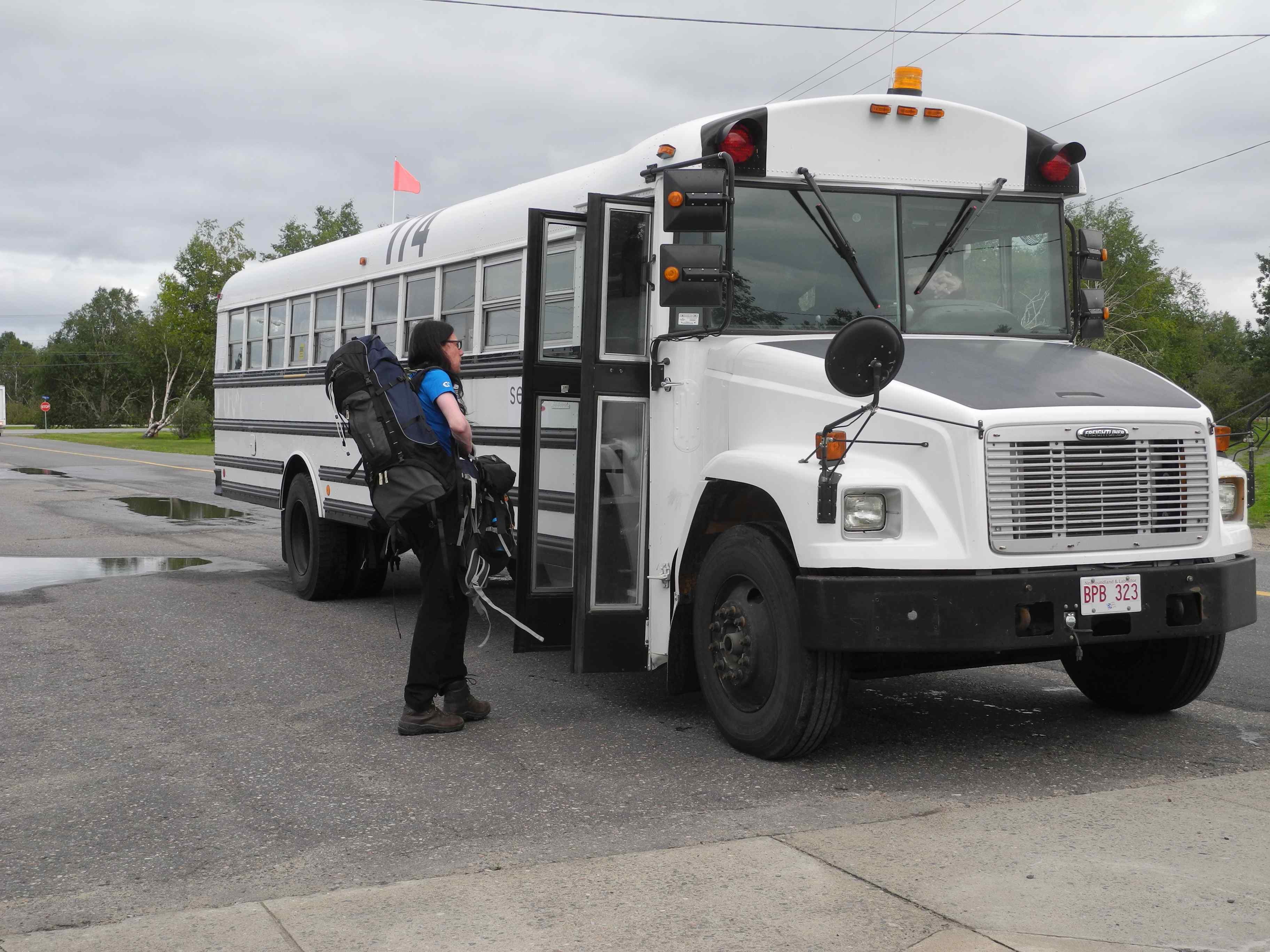
Our "magic" bus.
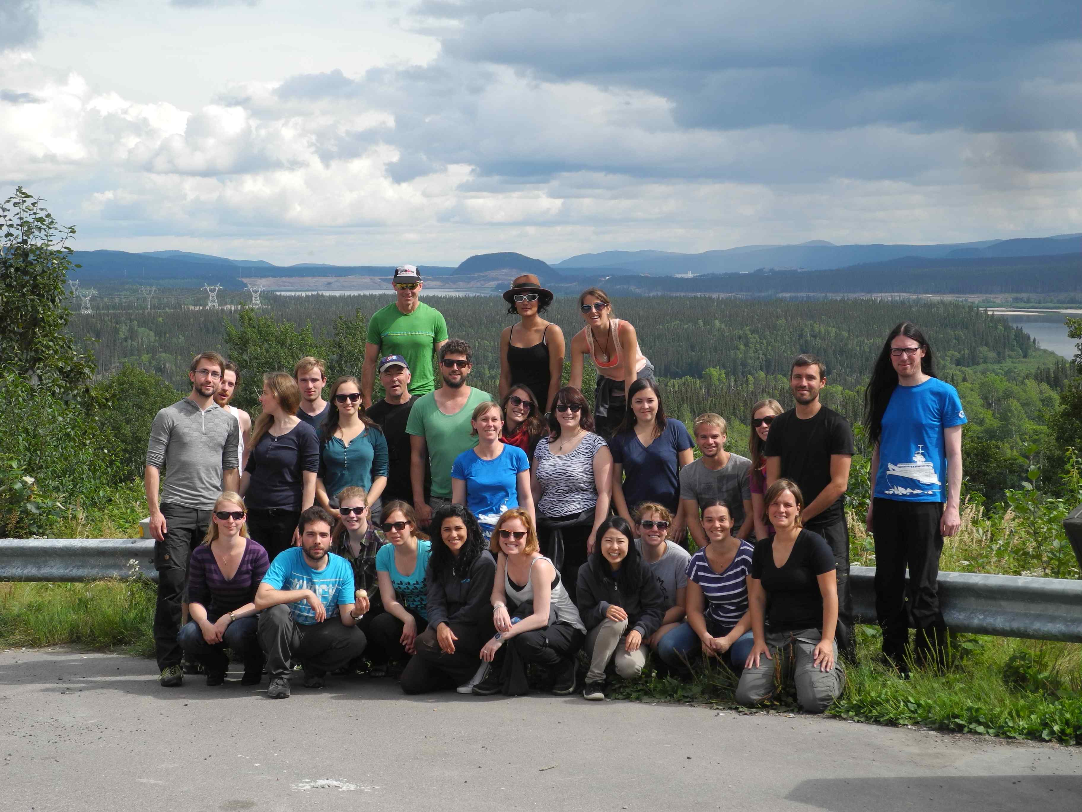
Group photo. Background: the construction site at Muskrat Falls.
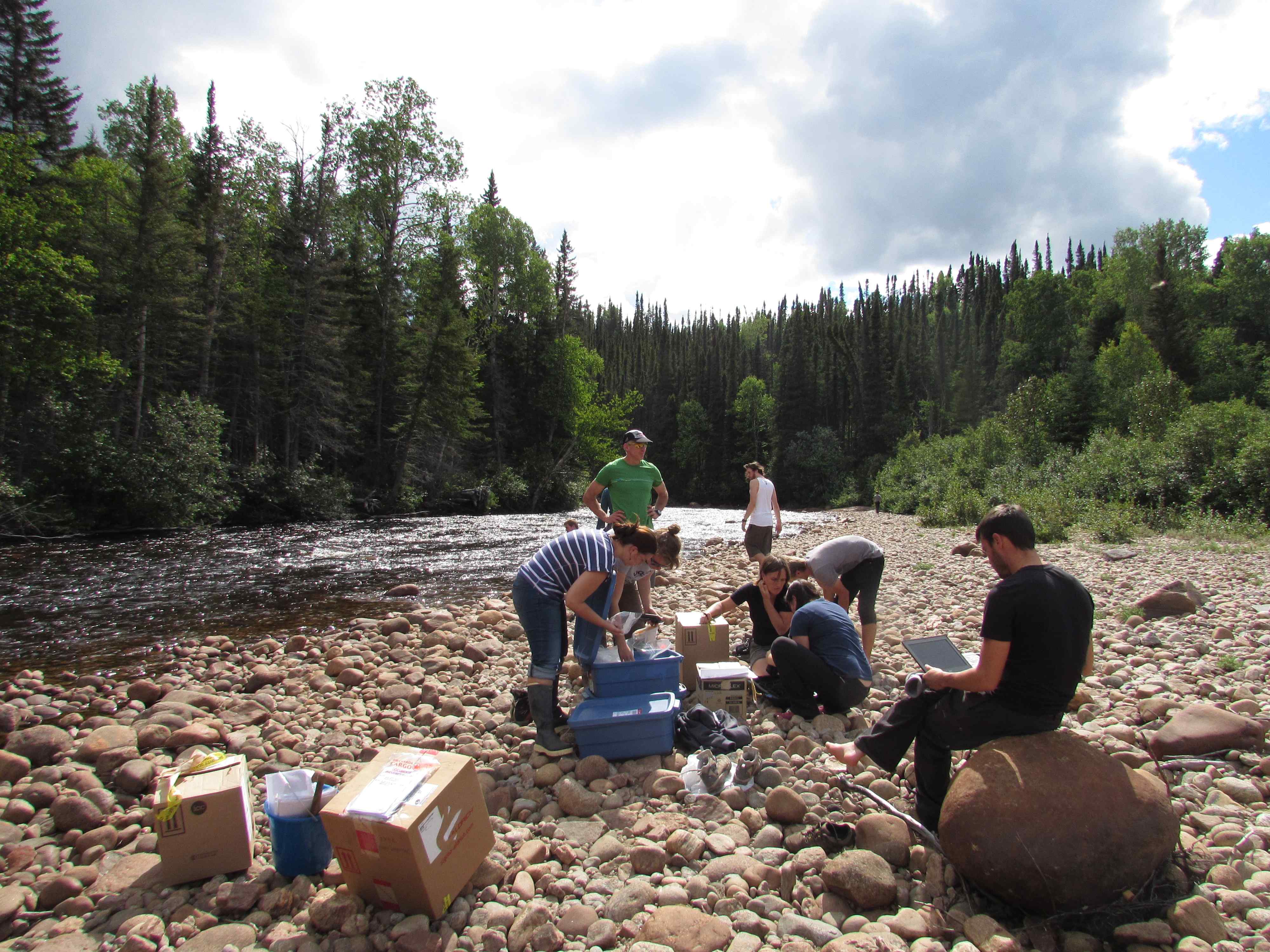
Taking samples at a tributary of the Churchill River.
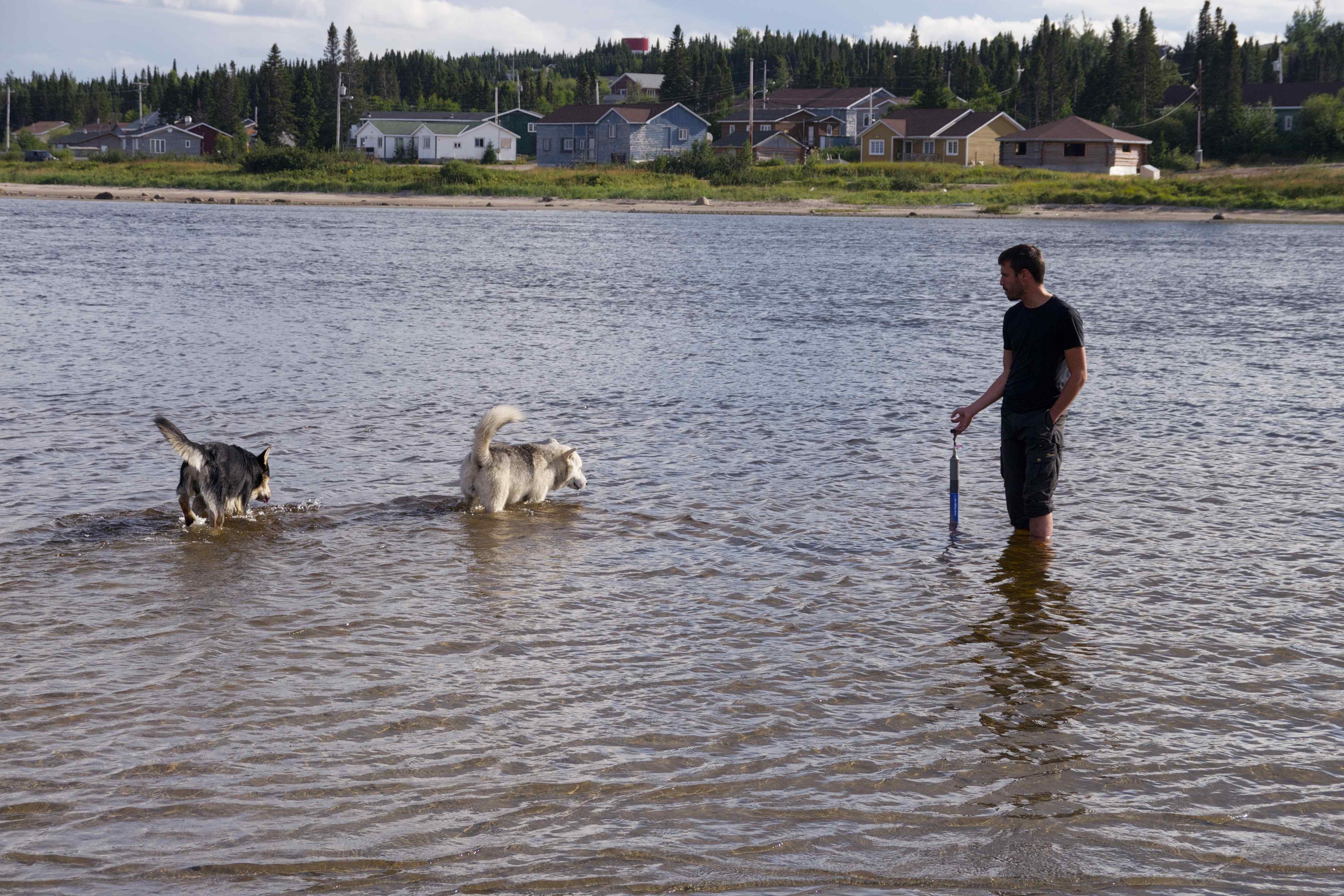
Making friends! Trying to sample the Northwest River.